Online Map Tracks Holocaust Deportation of French Children

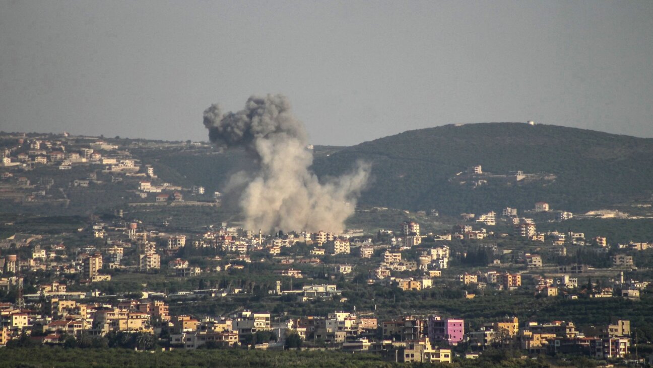
Solemn Memento: A railroad box car commemorates the deportation of Jews from France to Nazi death camps. Image by getty images
A French historian has created an interactive map that charts the location of children deported from France during the Holocaust.
On Monday, the online map by Jean-Luc Pinol was so overloaded with connections that it could not be accessed.
Based on data collected by Nazi hunter Serge Klarsfeld, the map is part of an exhibit on display outside the National Conservatory of Arts and Crafts in Paris.
Some 11,400 children were among the 76,000 Jews deported from France and sent to Nazi death camps between July 1942 and August 1944.
On the map, red circles indicate from where the children were deported. Zooming in on the circles shows the exact location where a child was arrested and taken for deportation.
This is a moment of great uncertainty. Here’s what you can do about it.
We hope you appreciated this article. Before you go, we’d like to ask you to please support the Forward’s independent Jewish news. All donations are still being matched by the Forward Board - up to $100,000 until April 24.
This is a moment of great uncertainty for the news media, for the Jewish people, and for our sacred democracy. It is a time of confusion and declining trust in public institutions. An era in which we need humans to report facts, conduct investigations that hold power to account, tell stories that matter and share honest discourse on all that divides us.
With no paywall or subscriptions, the Forward is entirely supported by readers like you. Every dollar you give is invested in the future of the Forward — and telling the American Jewish story fully and fairly.
The Forward doesn’t rely on funding from institutions like governments or your local Jewish federation. There are thousands of readers like you who give us $18 or $36 or $100 each month or year.

Support our mission to tell the Jewish story fully and fairly.